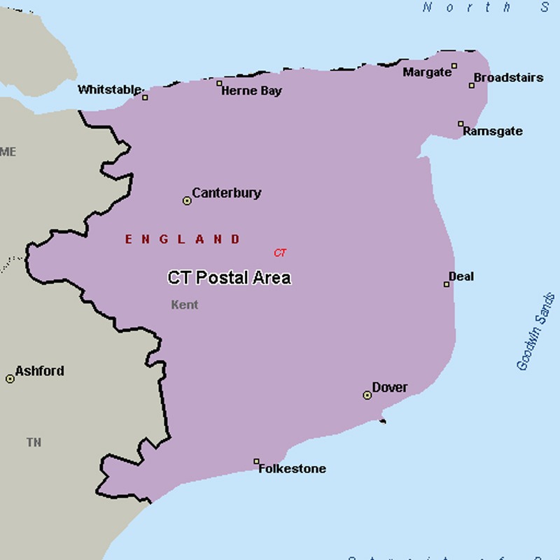
The CT postcode area, also known as the Canterbury postcode area, covers much of east Kent, including Canterbury, Dover, Folkestone, Birchington, Broadstairs, Deal, Herne Bay, Hythe, Margate, Ramsgate, Sandwich, Westgate-on-Sea and Whitstable.
Approximate total number of households in area: 201307
Get in touch with the team directly to arrange the leaflet distribution with them, or alternatively, get in touch with the leaflet network team to arrange this distribution for you. To come through the leaflet network there may be an added fee, but we will make sure to get every angle covered for you. For general enquiries please use the contact page.