Leaflet Distribution London E
Leaflet Network
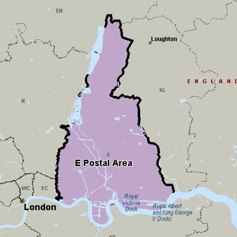
The E (Eastern) postcode area, also known as the London E postcode area, is the part of the London post town covering much of east London. It borders the N postcode area to the west, both north of the tidal Thames.
Approximate total number of households in area: 336653
Get in touch with the team directly to arrange the leaflet distribution with them, or alternatively, get in touch with the leaflet network team to arrange this distribution for you. To come through the leaflet network there may be an added fee, but we will make sure to get every angle covered for you. For general enquiries please use the contact page.
| Postcode Sector | Households |
|---|---|
| E1 0 | 3643 |
| E1 1 | 1640 |
| E1 2 | 2103 |
| E1 3 | 2651 |
| E1 4 | 4581 |
| E1 5 | 3221 |
| E1 6 | 1314 |
| E1 7 | 939 |
| E1 8 | 1654 |
| E10 5 | 5078 |
| E10 6 | 5463 |
| E10 7 | 4146 |
| E11 1 | 4604 |
| E11 2 | 5133 |
| E11 3 | 5709 |
| E11 4 | 5541 |
| E12 5 | 5209 |
| E12 6 | 6698 |
| E13 0 | 5371 |
| E13 8 | 4756 |
| E13 9 | 4402 |
| E14 0 | 3348 |
| E14 2 | 534 |
| E14 3 | 6633 |
| E14 4 | 49 |
| E14 5 | 235 |
| E14 6 | 3678 |
| E14 7 | 3377 |
| E14 8 | 4332 |
| E14 9 | 1920 |
| E15 1 | 4375 |
| E15 2 | 3710 |
| E15 3 | 5111 |
| E15 4 | 4398 |
| E16 1 | 4122 |
| E16 2 | 3044 |
| E16 3 | 5265 |
| E16 4 | 3462 |
| E17 3 | 4767 |
| E17 4 | 6318 |
| E17 5 | 6518 |
| E17 6 | 6034 |
| E17 7 | 4146 |
| E17 8 | 5768 |
| E17 9 | 4897 |
| E18 1 | 3041 |
| E18 2 | 4510 |
| E1W 1 | 1110 |
| E1W 2 | 2096 |
| E1W 3 | 2444 |
| E2 0 | 4021 |
| E2 6 | 2895 |
| E2 7 | 3714 |
| E2 8 | 2983 |
| E2 9 | 3147 |
| E3 2 | 4434 |
| E3 3 | 3238 |
| E3 4 | 4623 |
| E3 5 | 4522 |
| E4 6 | 7366 |
| E4 7 | 5347 |
| E4 8 | 5839 |
| E4 9 | 7084 |
| E5 0 | 5787 |
| E5 8 | 6109 |
| E5 9 | 5240 |
| E6 1 | 4499 |
| E6 2 | 5188 |
| E6 3 | 6276 |
| E6 5 | 4207 |
| E6 6 | 3859 |
| E6 7 | 0 |
| E7 0 | 4151 |
| E7 8 | 5376 |
| E7 9 | 4897 |
| E8 1 | 3131 |
| E8 2 | 3112 |
| E8 3 | 3759 |
| E8 4 | 4220 |
| E9 5 | 5067 |
| E9 6 | 4252 |
| E9 7 | 5212 |