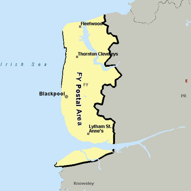
The FY postcode area, also known as the Blackpool postcode area, covers the western half of the Fylde plain (to which the letters in the postcode refer) on the west coast of Lancashire, including Blackpool, Thornton-Cleveleys, Poulton-le-Fylde, Fleetwood and Lytham St Annes.
Approximate total number of households in area: 123170
Get in touch with the team directly to arrange the leaflet distribution with them, or alternatively, get in touch with the leaflet network team to arrange this distribution for you. To come through the leaflet network there may be an added fee, but we will make sure to get every angle covered for you. For general enquiries please use the contact page.