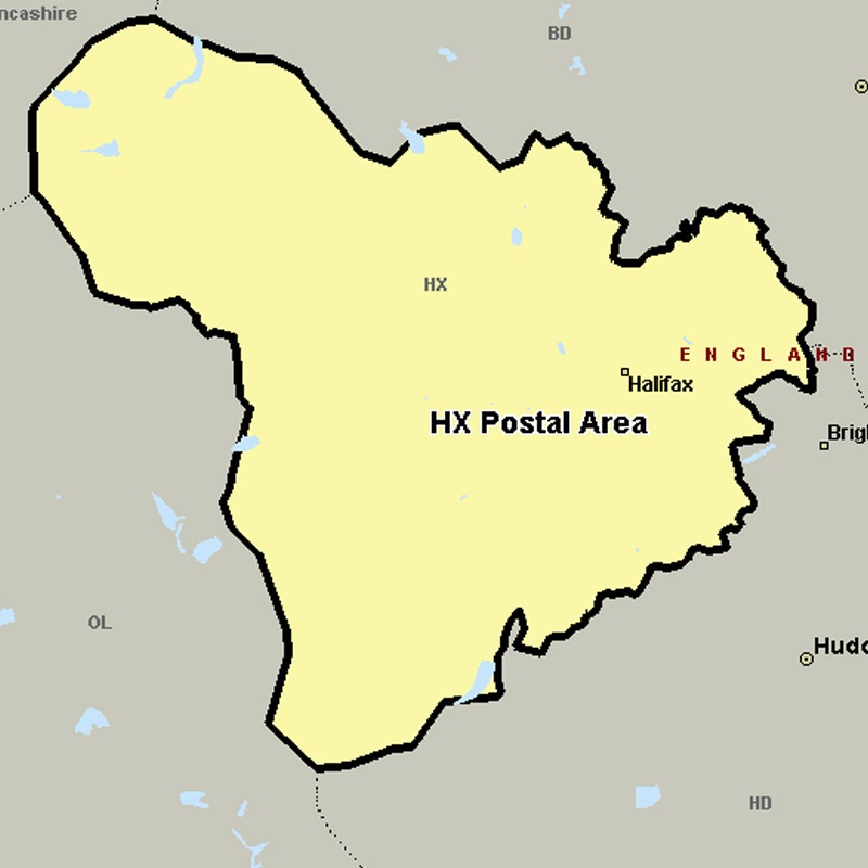
The HX postcode area, also known as the Halifax postcode area, covers most of the Metropolitan Borough of Calderdale in western West Yorkshire, including Halifax, Elland, Sowerby Bridge and Hebden Bridge.
Approximate total number of households in area: 68120
Get in touch with the team directly to arrange the leaflet distribution with them, or alternatively, get in touch with the leaflet network team to arrange this distribution for you. To come through the leaflet network there may be an added fee, but we will make sure to get every angle covered for you. For general enquiries please use the contact page.