Leaflet Distribution Ilford

Leaflet Network

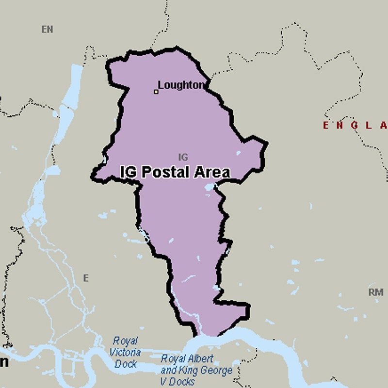
The IG postcode area, also known as the Ilford postcode area, covers parts of eastern Greater London and south-west Essex.

Approximate total number of households in area: 121338

Get in touch with the team directly to arrange the leaflet distribution with them, or alternatively, get in touch with the leaflet network team to arrange this distribution for you. To come through the leaflet network there may be an added fee, but we will make sure to get every angle covered for you. For general enquiries please use the contact page.

igpostalarea

    Postcode SectorHouseholds
    IG1 14107
    IG1 25652
    IG1 35589
    IG1 43731
    IG10 12841
    IG10 24211
    IG10 34722
    IG10 41945
    IG11 03795
    IG11 75232
    IG11 83348
    IG11 96630
    IG2 64348
    IG2 74565
    IG3 85068
    IG3 95747
    IG4 53243
    IG5 06329
    IG6 13445
    IG6 24723
    IG6 32988
    IG7 43147
    IG7 53190
    IG7 61877
    IG8 03710
    IG8 73996
    IG8 83519
    IG8 94045
    IG9 53279
    IG9 62316

    Postal Area IG