Leaflet Distribution Stevenage
Leaflet Network
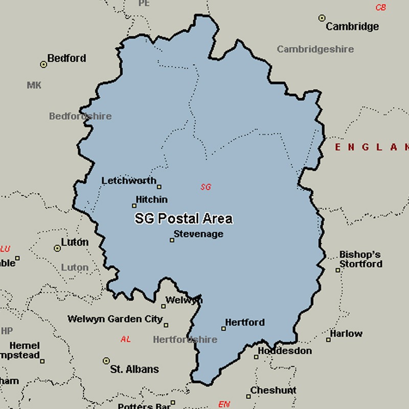
The SG postcode area, also known as the Stevenage postcode area, covers north Hertfordshire (including Stevenage, Baldock, Buntingford, Hertford, Hitchin, Knebworth, Letchworth, Much Hadham, Royston and Ware) and east Bedfordshire (including Arlesey, Biggleswade, Henlow, Sandy and Shefford), plus a small part of south-west Cambridgeshire and a very small part of Essex.
Approximate total number of households in area: 158827
Get in touch with the team directly to arrange the leaflet distribution with them, or alternatively, get in touch with the leaflet network team to arrange this distribution for you. To come through the leaflet network there may be an added fee, but we will make sure to get every angle covered for you. For general enquiries please use the contact page.
| Postcode Sector | Households |
|---|---|
| SG1 1 | 3145 |
| SG1 2 | 3013 |
| SG1 3 | 3124 |
| SG1 4 | 4075 |
| SG1 5 | 4900 |
| SG1 6 | 973 |
| SG10 6 | 760 |
| SG11 1 | 1922 |
| SG11 2 | 1054 |
| SG12 0 | 3873 |
| SG12 7 | 3399 |
| SG12 8 | 2291 |
| SG12 9 | 1934 |
| SG13 7 | 4151 |
| SG13 8 | 2090 |
| SG14 1 | 1340 |
| SG14 2 | 3285 |
| SG14 3 | 3566 |
| SG15 6 | 2076 |
| SG16 6 | 2120 |
| SG17 5 | 4501 |
| SG18 0 | 2935 |
| SG18 8 | 3703 |
| SG18 9 | 2662 |
| SG19 1 | 3970 |
| SG19 2 | 3476 |
| SG19 3 | 2039 |
| SG2 0 | 3369 |
| SG2 7 | 2968 |
| SG2 8 | 5163 |
| SG2 9 | 5558 |
| SG3 6 | 3080 |
| SG4 0 | 3786 |
| SG4 7 | 1871 |
| SG4 8 | 2715 |
| SG4 9 | 3658 |
| SG5 1 | 2945 |
| SG5 2 | 3560 |
| SG5 3 | 2678 |
| SG5 4 | 2645 |
| SG6 1 | 2882 |
| SG6 2 | 3418 |
| SG6 3 | 2451 |
| SG6 4 | 5789 |
| SG7 5 | 1948 |
| SG7 6 | 3796 |
| SG8 0 | 1497 |
| SG8 5 | 4109 |
| SG8 6 | 2760 |
| SG8 7 | 2760 |
| SG8 8 | 1270 |
| SG8 9 | 2169 |
| SG9 0 | 1191 |
| SG9 9 | 2414 |