Leaflet Distribution London WC

Leaflet Network

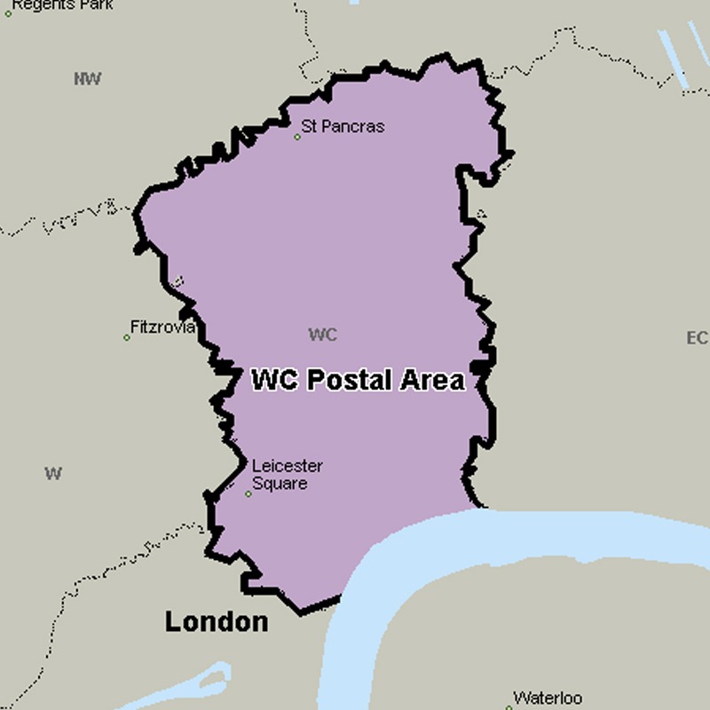
The WC (Western Central) postcode area, also known as the London WC postcode area, is a group of postcode districts in central London, England.

Approximate total number of households in area: 14975

Get in touch with the team directly to arrange the leaflet distribution with them, or alternatively, get in touch with the leaflet network team to arrange this distribution for you. To come through the leaflet network there may be an added fee, but we will make sure to get every angle covered for you. For general enquiries please use the contact page.

wcpostalarea

    Postcode SectorHouseholds
    WC1A 1147
    WC1A 2236
    WC1B 3303
    WC1B 4138
    WC1B 5154
    WC1E 6468
    WC1E 7375
    WC1H 0863
    WC1H 81216
    WC1H 91625
    WC1N 11277
    WC1N 2342
    WC1N 31137
    WC1R 4338
    WC1V 635
    WC1V 722
    WC1X 01144
    WC1X 8406
    WC1X 91509
    WC2A 130
    WC2A 29
    WC2A 363
    WC2B 4300
    WC2B 5614
    WC2B 65
    WC2E 7178
    WC2E 832
    WC2E 9155
    WC2H 0386
    WC2H 7204
    WC2H 8203
    WC2H 9686
    WC2N 4207
    WC2N 530
    WC2N 685
    WC2R 036
    WC2R 23
    WC2R 314

    Postal Area WC