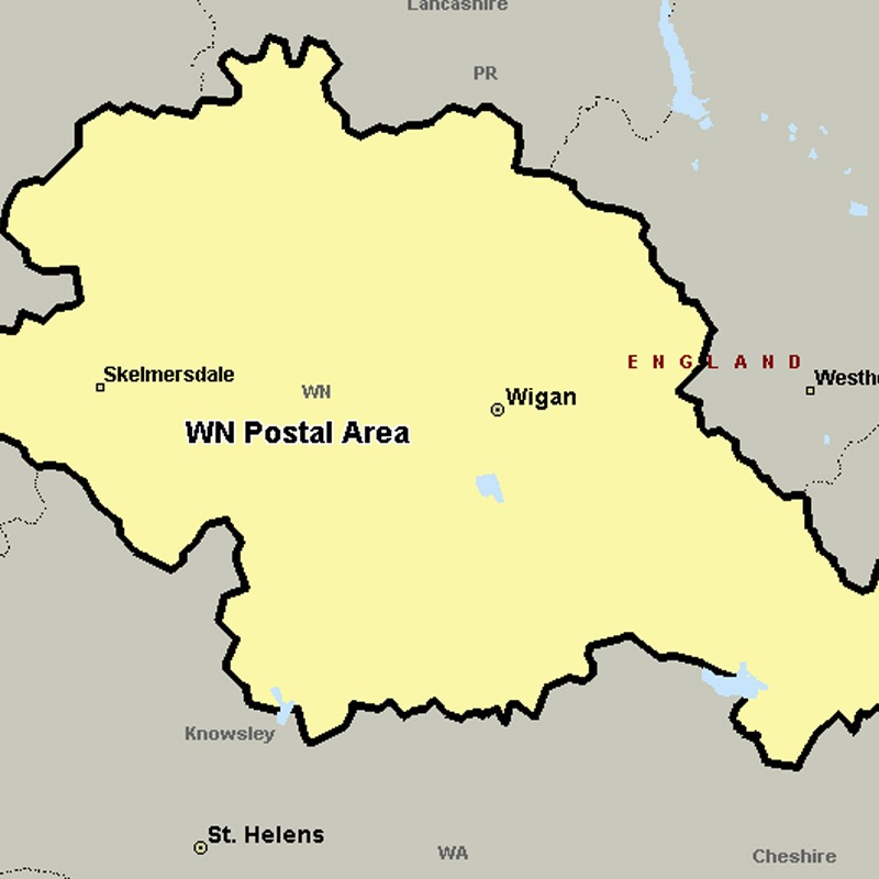
The WN postcode area, also known as the Wigan postcode area, covers most of the Metropolitan Borough of Wigan in Greater Manchester (including Wigan itself and Leigh), plus small parts of West Lancashire (including Skelmersdale) and the Metropolitan Borough of St Helens in Merseyside.
Approximate total number of households in area: 126426
Get in touch with the team directly to arrange the leaflet distribution with them, or alternatively, get in touch with the leaflet network team to arrange this distribution for you. To come through the leaflet network there may be an added fee, but we will make sure to get every angle covered for you. For general enquiries please use the contact page.