Leaflet Distribution Worcester
Leaflet Network
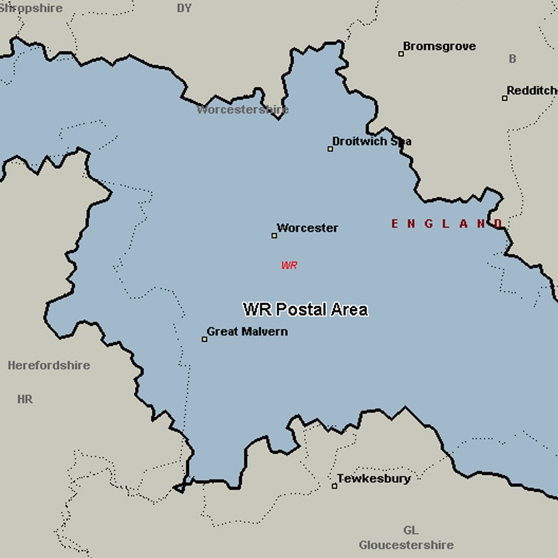
The WR postcode area, also known as the Worcester postcode area, covers central and southern Worcestershire (including Worcester, Broadway, Droitwich, Evesham, Malvern, Pershore and Tenbury Wells), plus very small parts of Herefordshire, Shropshire, Warwickshire and Gloucestershire.
Approximate total number of households in area: 113172
Get in touch with the team directly to arrange the leaflet distribution with them, or alternatively, get in touch with the leaflet network team to arrange this distribution for you. To come through the leaflet network there may be an added fee, but we will make sure to get every angle covered for you. For general enquiries please use the contact page.
| Postcode Sector | Households |
|---|---|
| WR1 1 | 1838 |
| WR1 2 | 737 |
| WR1 3 | 1199 |
| WR10 1 | 3036 |
| WR10 2 | 2361 |
| WR10 3 | 1820 |
| WR11 1 | 2796 |
| WR11 2 | 2751 |
| WR11 3 | 1469 |
| WR11 4 | 2985 |
| WR11 7 | 3249 |
| WR11 8 | 2887 |
| WR12 7 | 2574 |
| WR13 5 | 1318 |
| WR13 6 | 1816 |
| WR14 1 | 4814 |
| WR14 2 | 4547 |
| WR14 3 | 2647 |
| WR14 4 | 2385 |
| WR15 8 | 2910 |
| WR2 4 | 4005 |
| WR2 5 | 4411 |
| WR2 6 | 3075 |
| WR3 7 | 4277 |
| WR3 8 | 3916 |
| WR4 0 | 3571 |
| WR4 9 | 6392 |
| WR5 1 | 3767 |
| WR5 2 | 3352 |
| WR5 3 | 4614 |
| WR6 5 | 1930 |
| WR6 6 | 2441 |
| WR7 4 | 1931 |
| WR8 0 | 2495 |
| WR8 9 | 925 |
| WR9 0 | 2137 |
| WR9 7 | 3437 |
| WR9 8 | 4622 |
| WR9 9 | 1735 |